
(David Fletcher, Bodleian, £35)
Click the pic to see this on Amazon (affiliate link)
I submitted my review of this book to Teach Secondary magazine, an educational magazine in the UK. The first review below is what the magazine published. The second one is what I actually wrote! In substantive terms there is little difference between the two, but you may find it interesting to see what the editor altered.
Published version
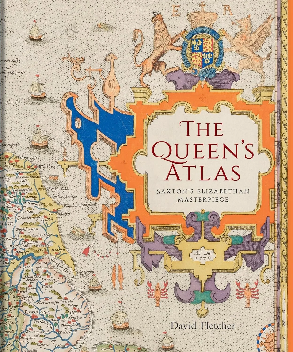
In these days of Google Maps convenience being available at our fingertips, it’s increasingly hard to imagine an era in which maps were either non-existent, or extremely rare artefacts available only to the very rich. In this beautifully illustrated book we learn about how William Saxton carried out the task of mapping the entirety of England (as far as can be surmised, at least), as well as the political and strategic roles maps have served over time. It’s genuinely difficult to conceive of an age in which it didn’t occur to most people to even want access to maps, but it turns out Henry VIII was a key driving force in promoting their usefulness. A highly detailed account packed with fascinating insights that will be of particular interest to geography students.
My original version
These days, with street maps posted in city centres, and Google Maps available literally at our fingertips, it is hard to envisage an era in which maps were either non-existent or rare artefacts available only to the very rich. In this beautifully illustrated book we learn about not only how William Saxton carried out the task of mapping the whole of England (as far as can be surmised), but also the political, strategic and other aspects of maps. Hard to image, too, an age in which it did not occur to most people to actually want a map, but Henry VIII was been a driving force in recognising their potential usefulness. We also learn about the life of Saxton, who came from humble beginnings but found himself in the right place at the right time. This highly detailed account reveals is fascinating. Highly recommended for Geography students in particular.
For additional comments and illustrations, please see this article.